
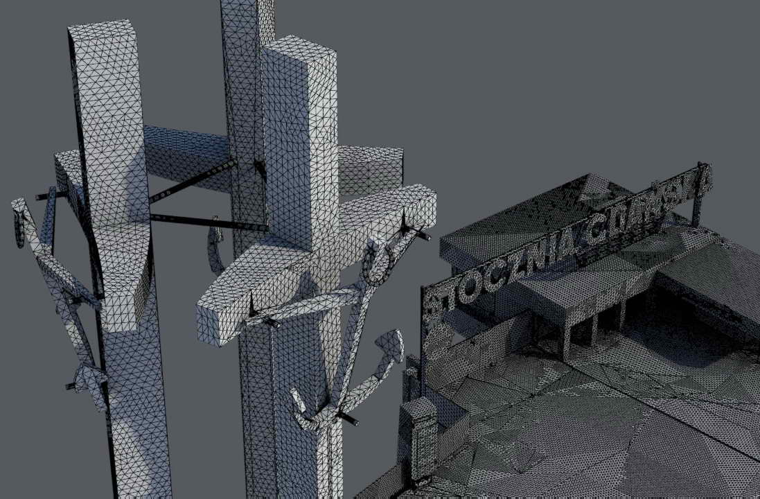
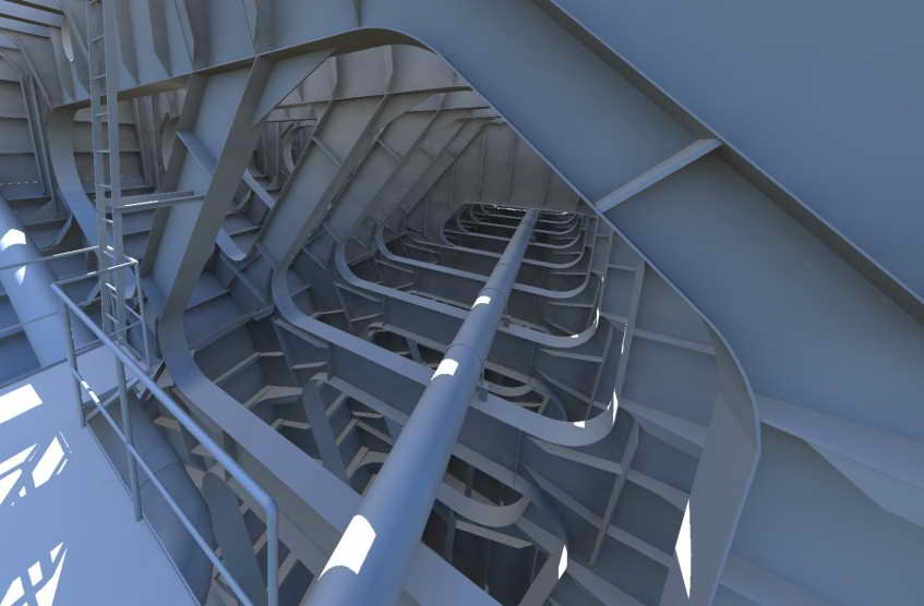
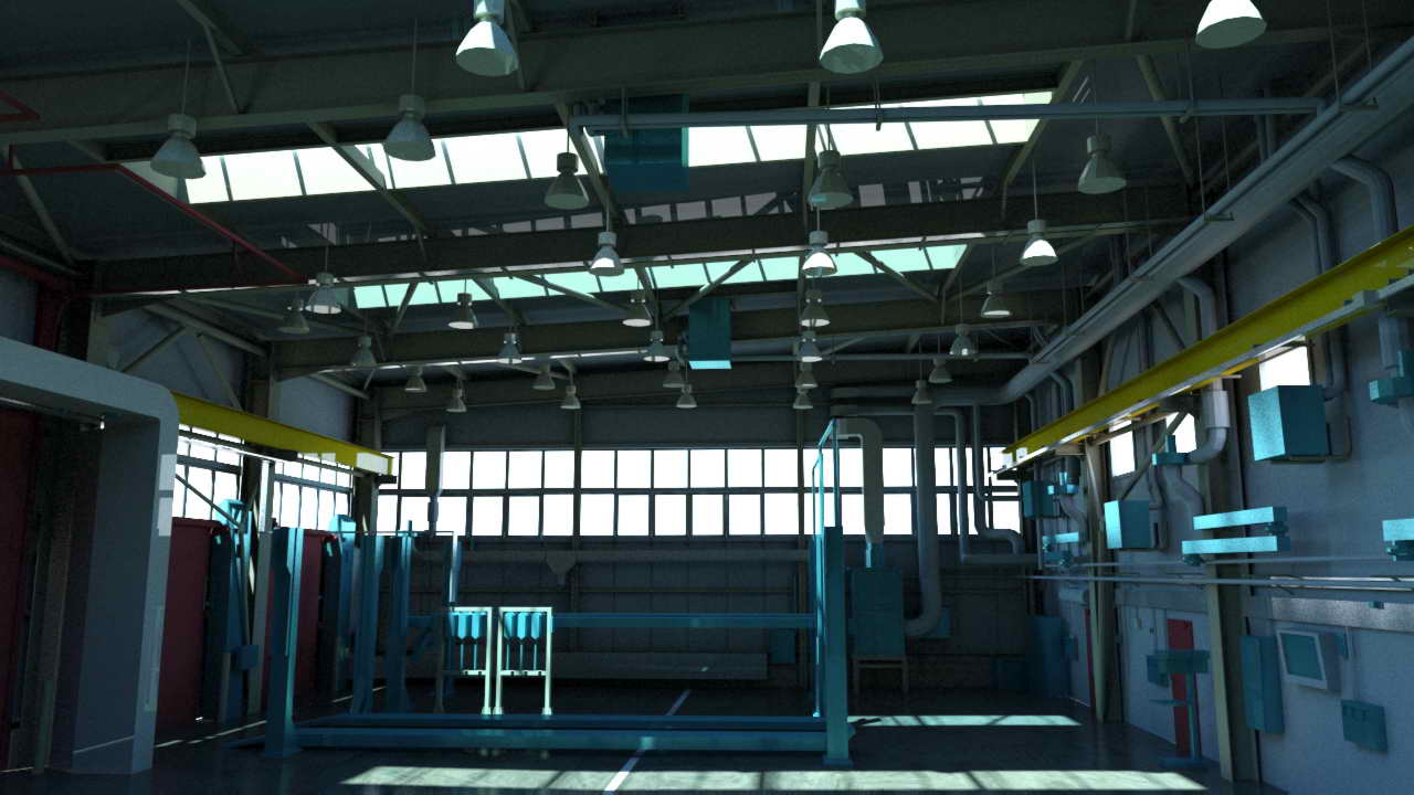
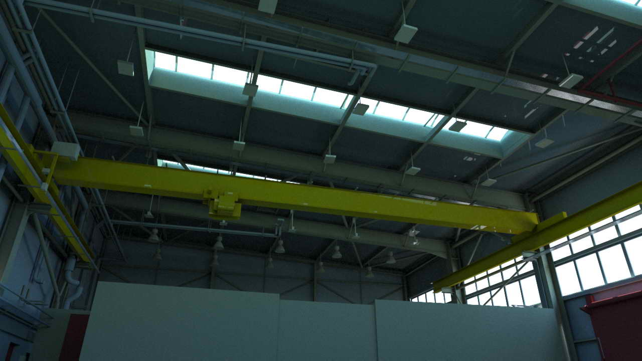
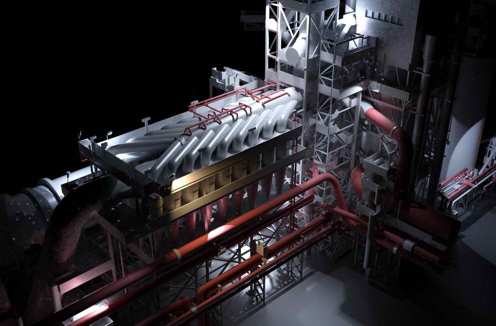
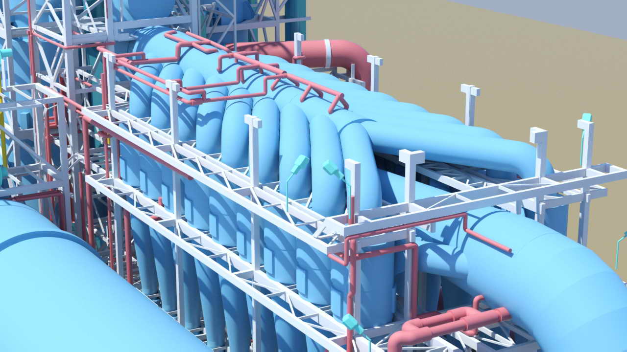
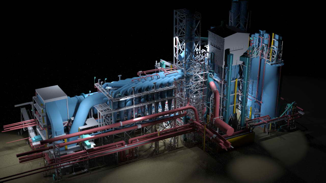
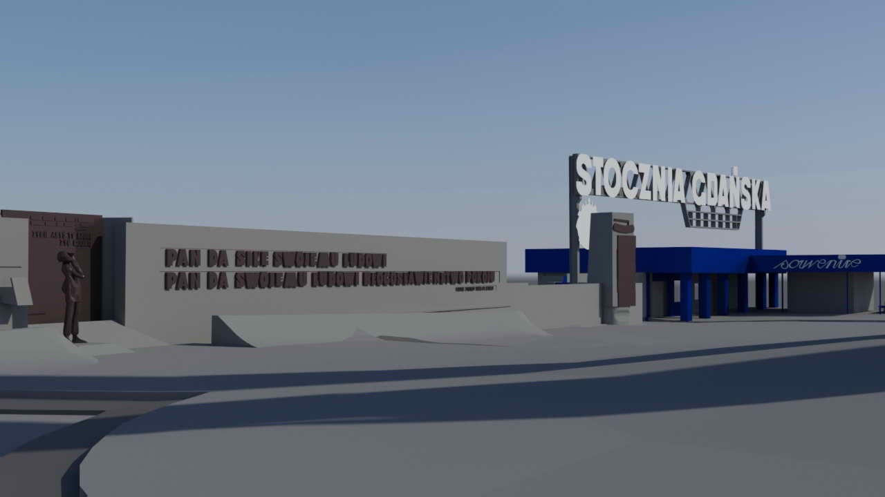
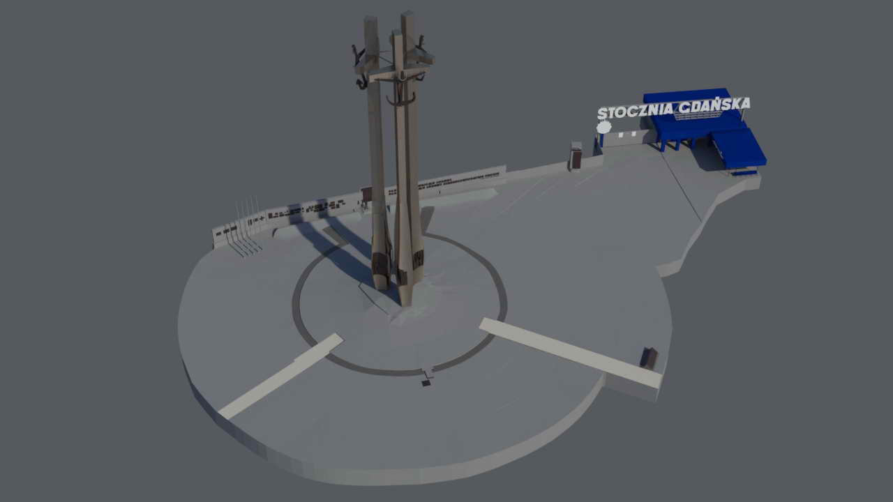
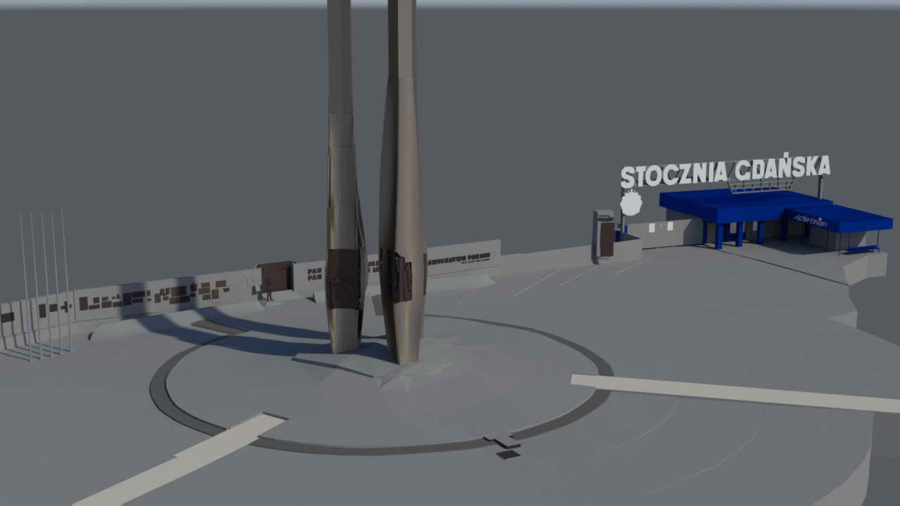
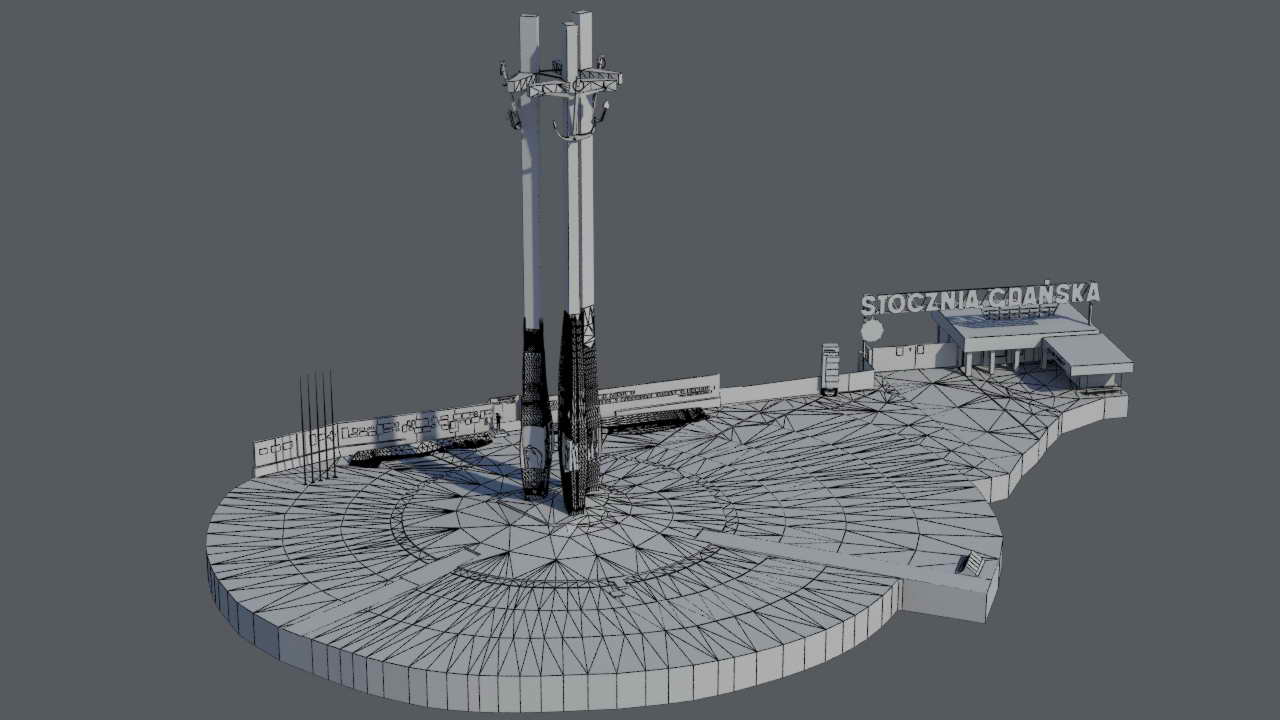
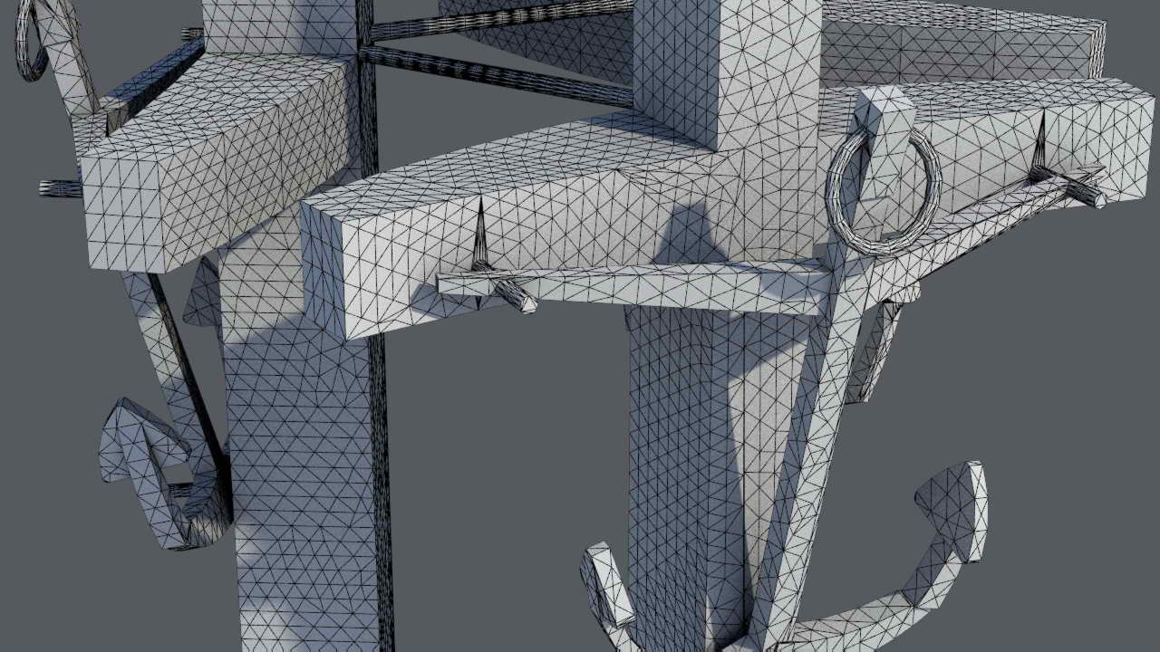
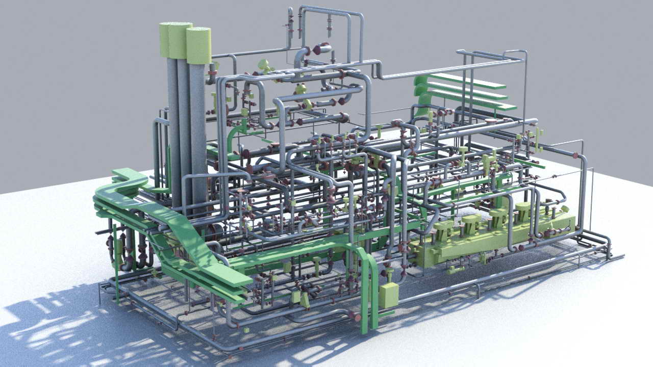
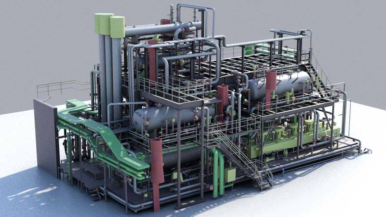
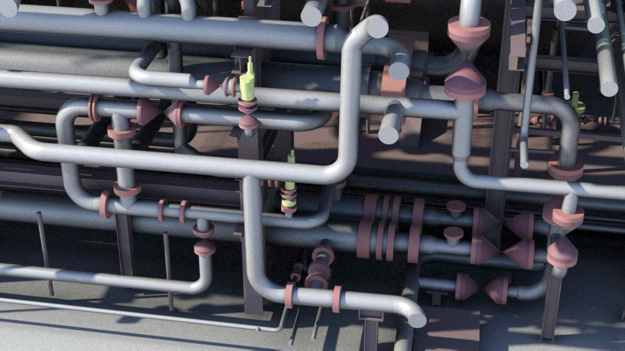
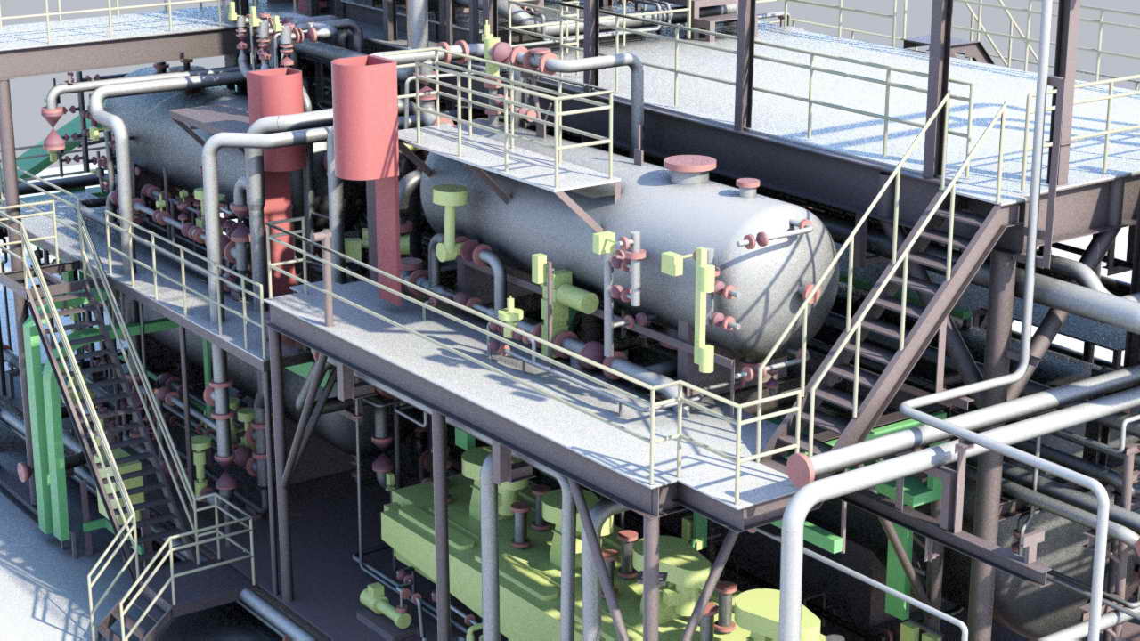
Laser scanning is a relatively new method of surveying which uses fast laser beam measurement. The method provides spatial data of the scanned object and allows surface distinction, from the beam’s reflection intensity. We can also provide a point cloud in full spectrum of color (RGB).
Data obtained in the process of scanning is the first and basic product that can be used in further processing or preliminary analysis of the scanned object. We perform ground laser scanning using multiple devices appropriate for each task.
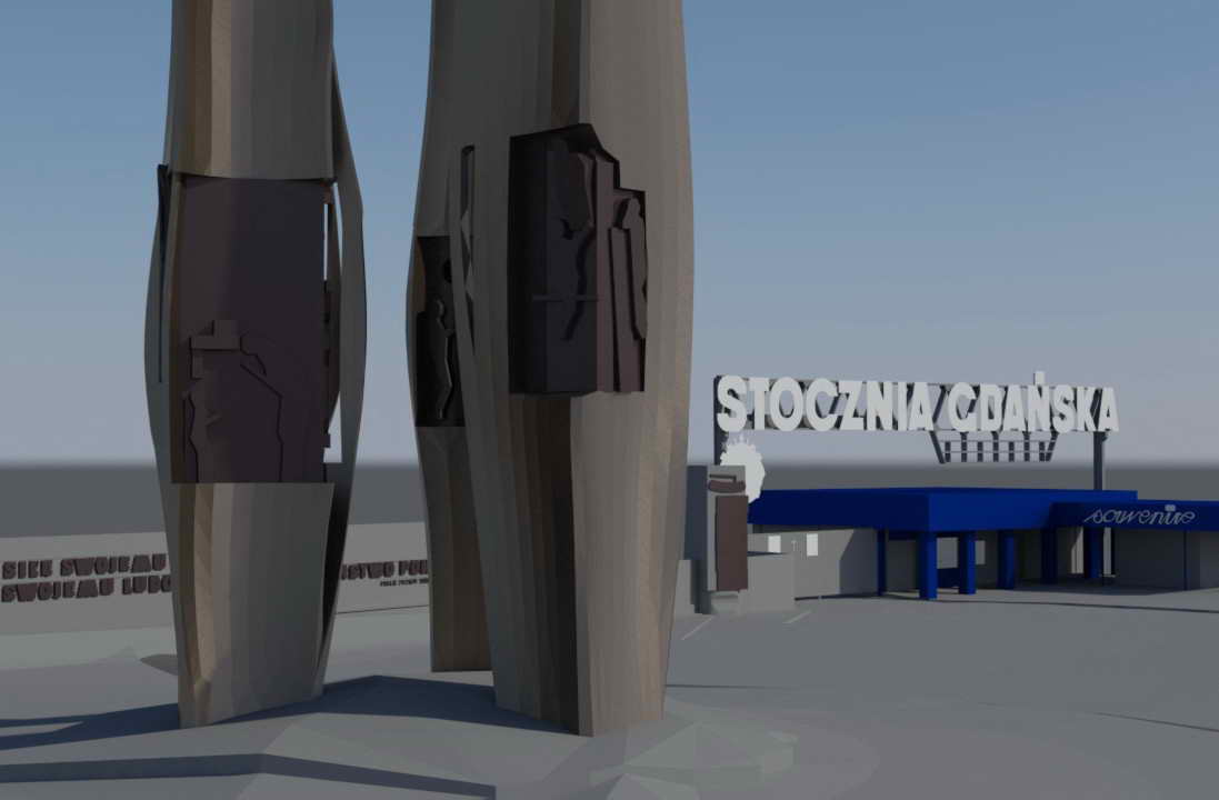
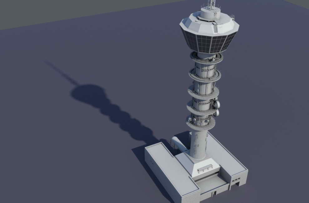
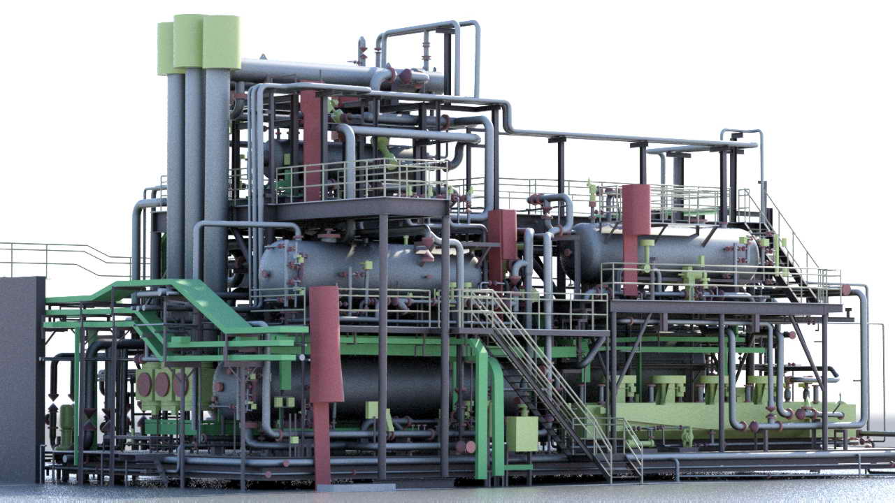
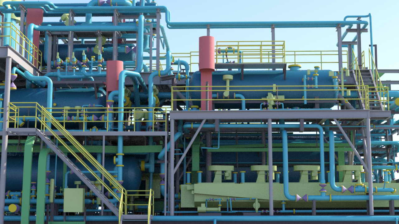
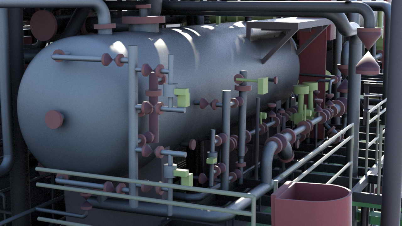
Scanning is used in:
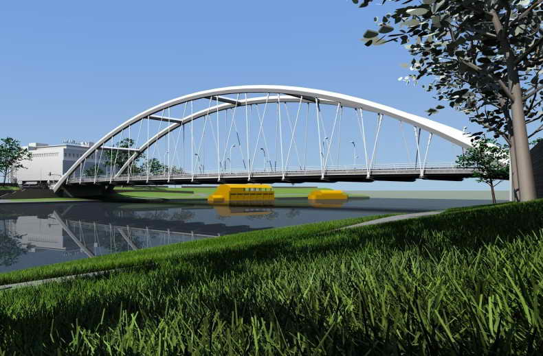
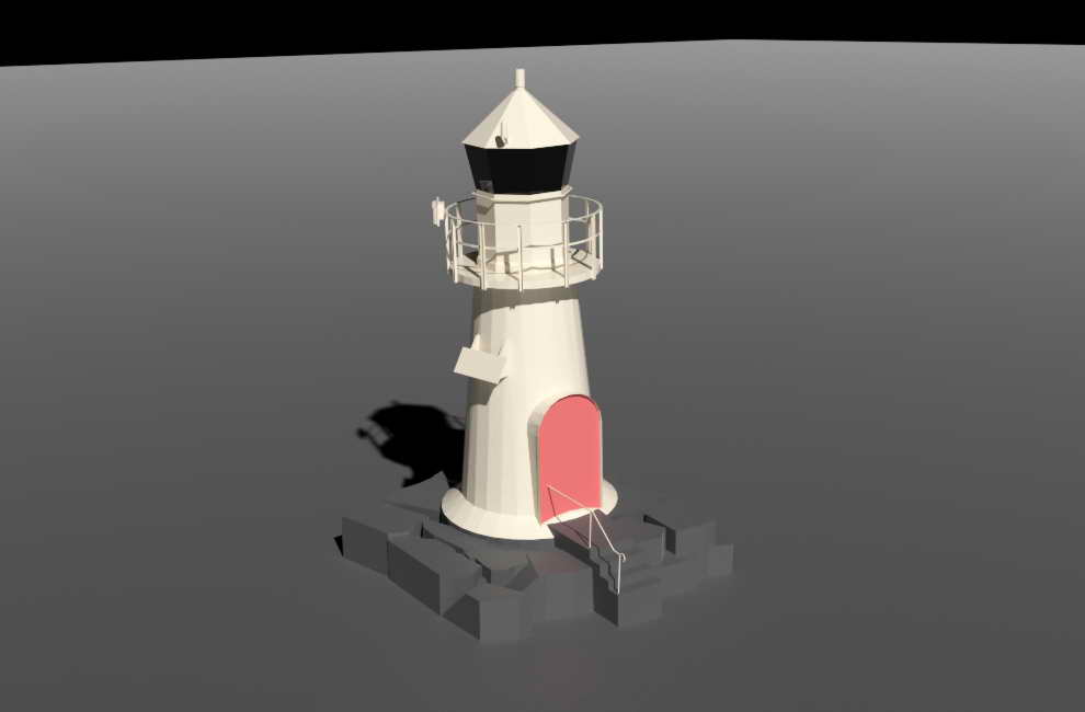
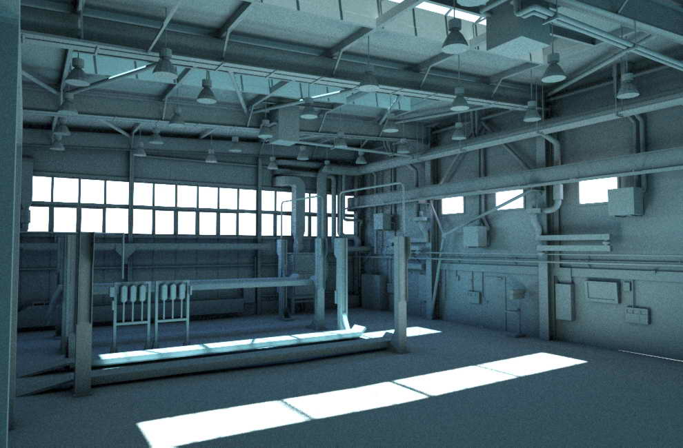
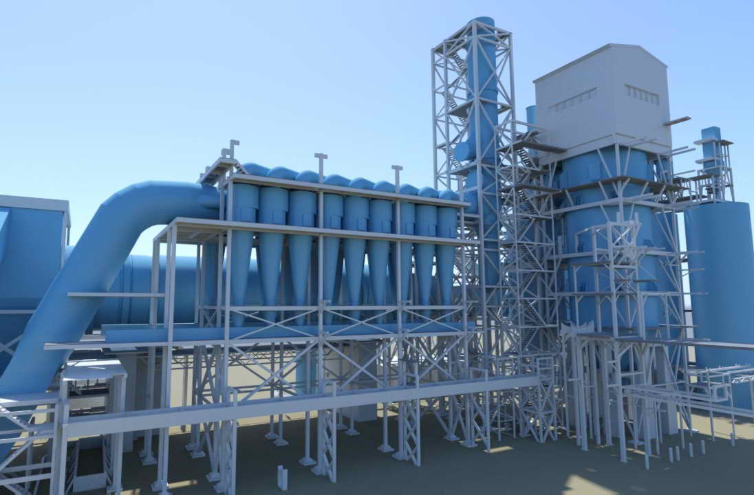
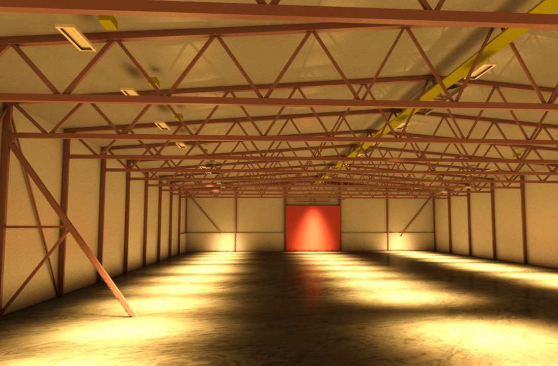
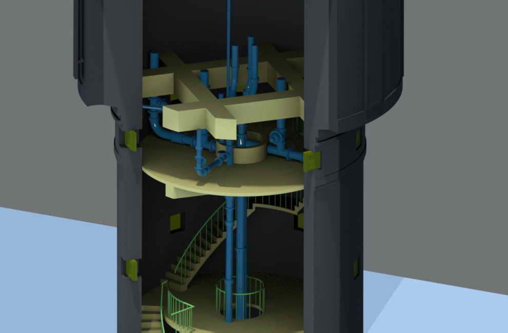
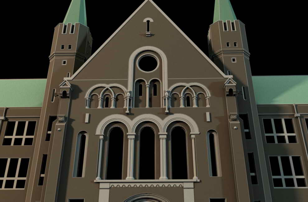
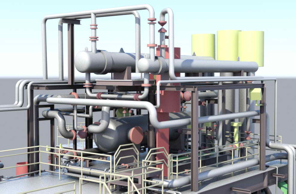
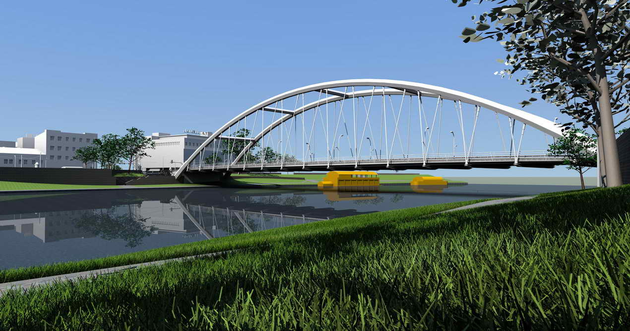
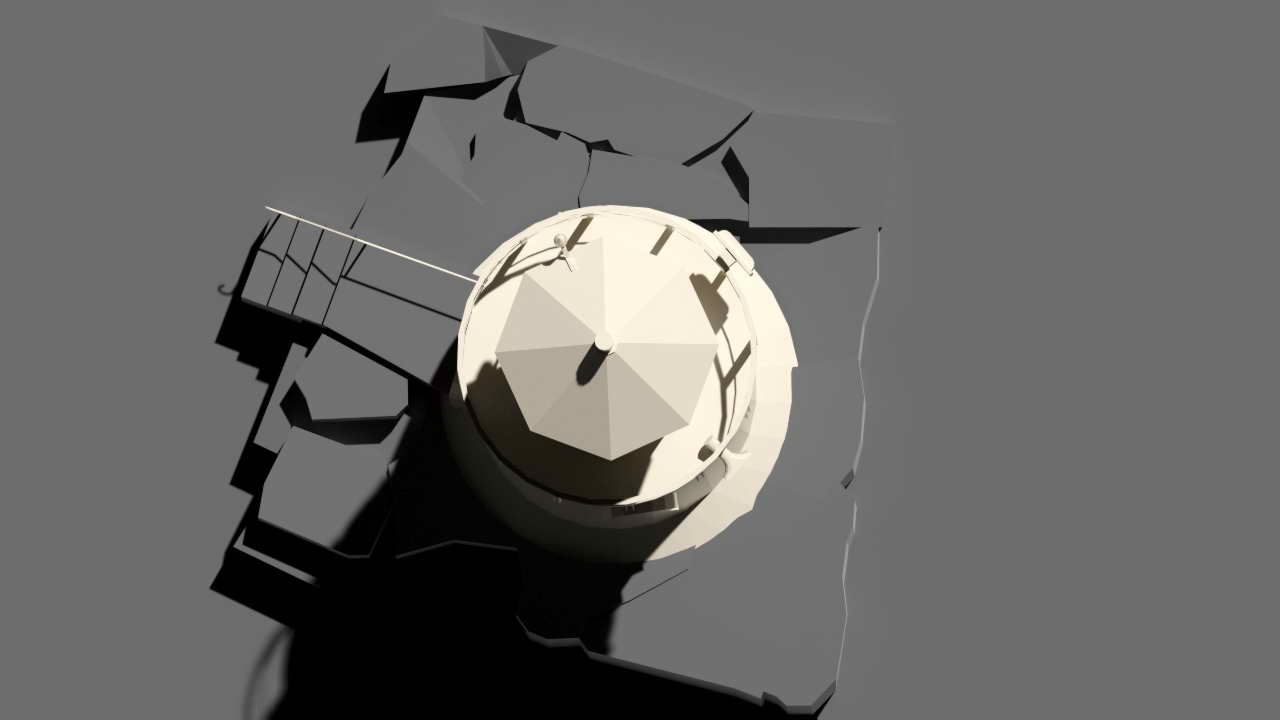
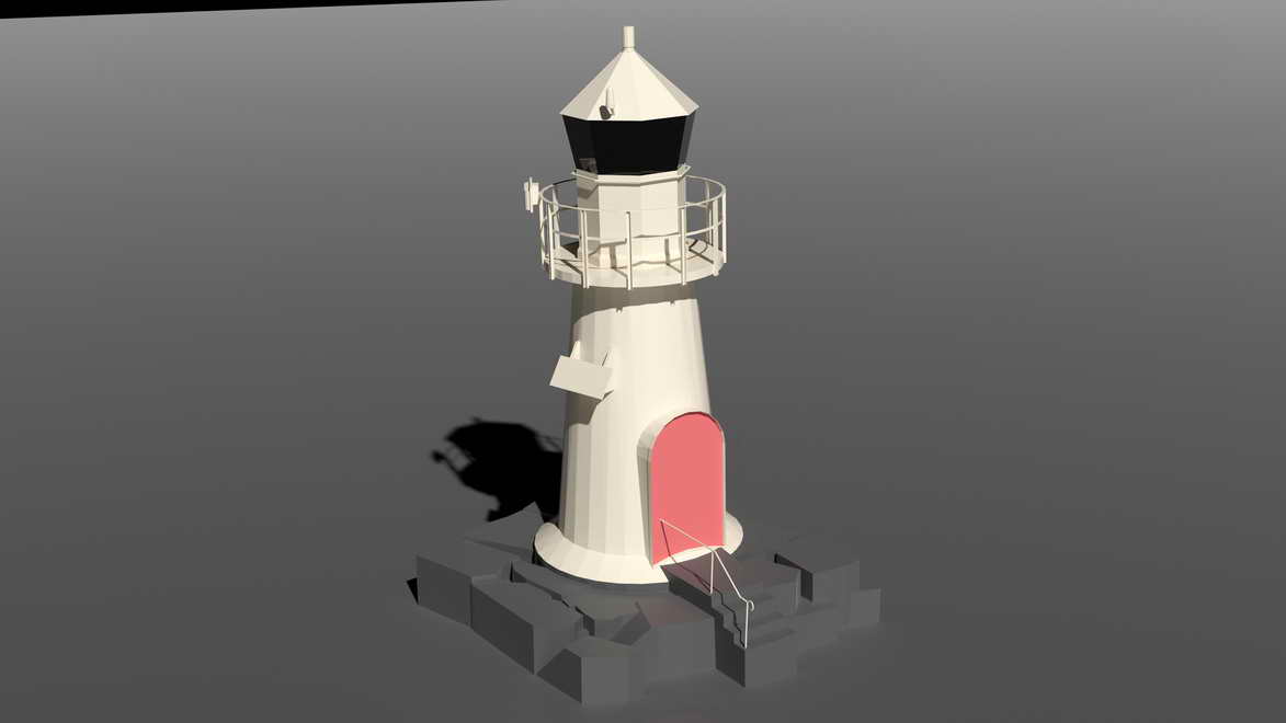
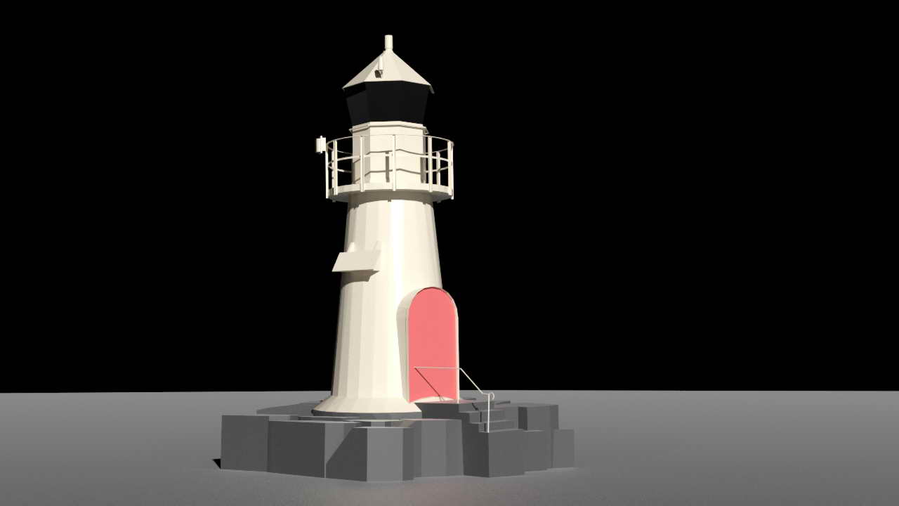
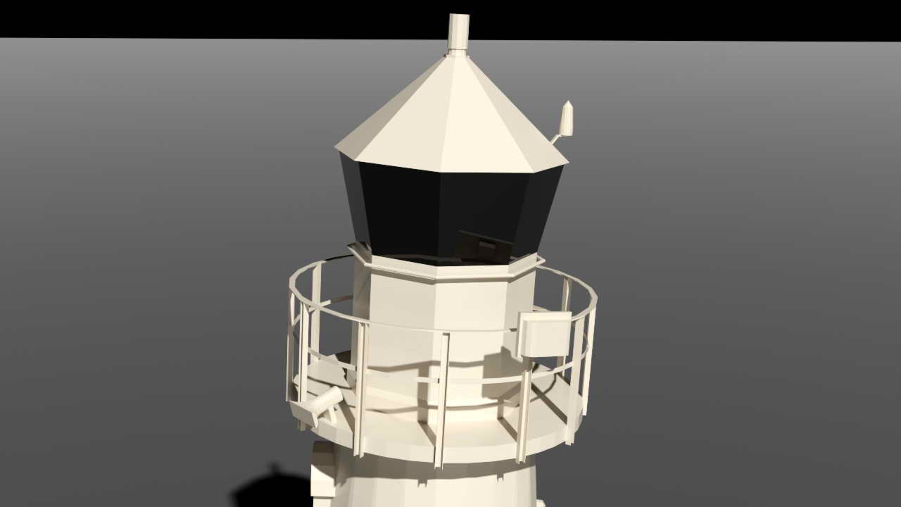
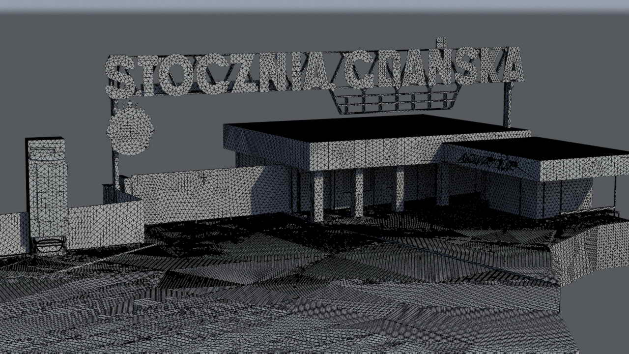
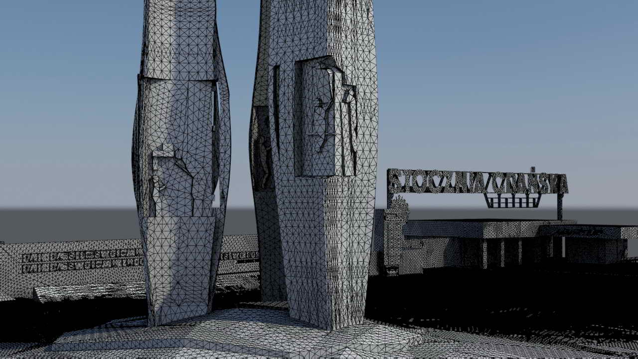
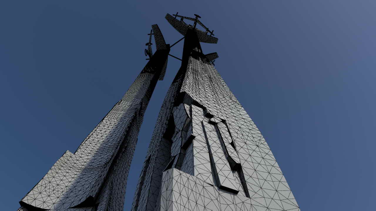
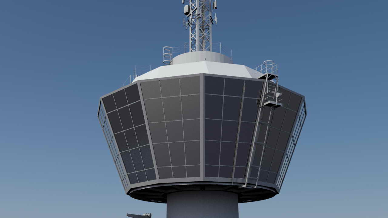
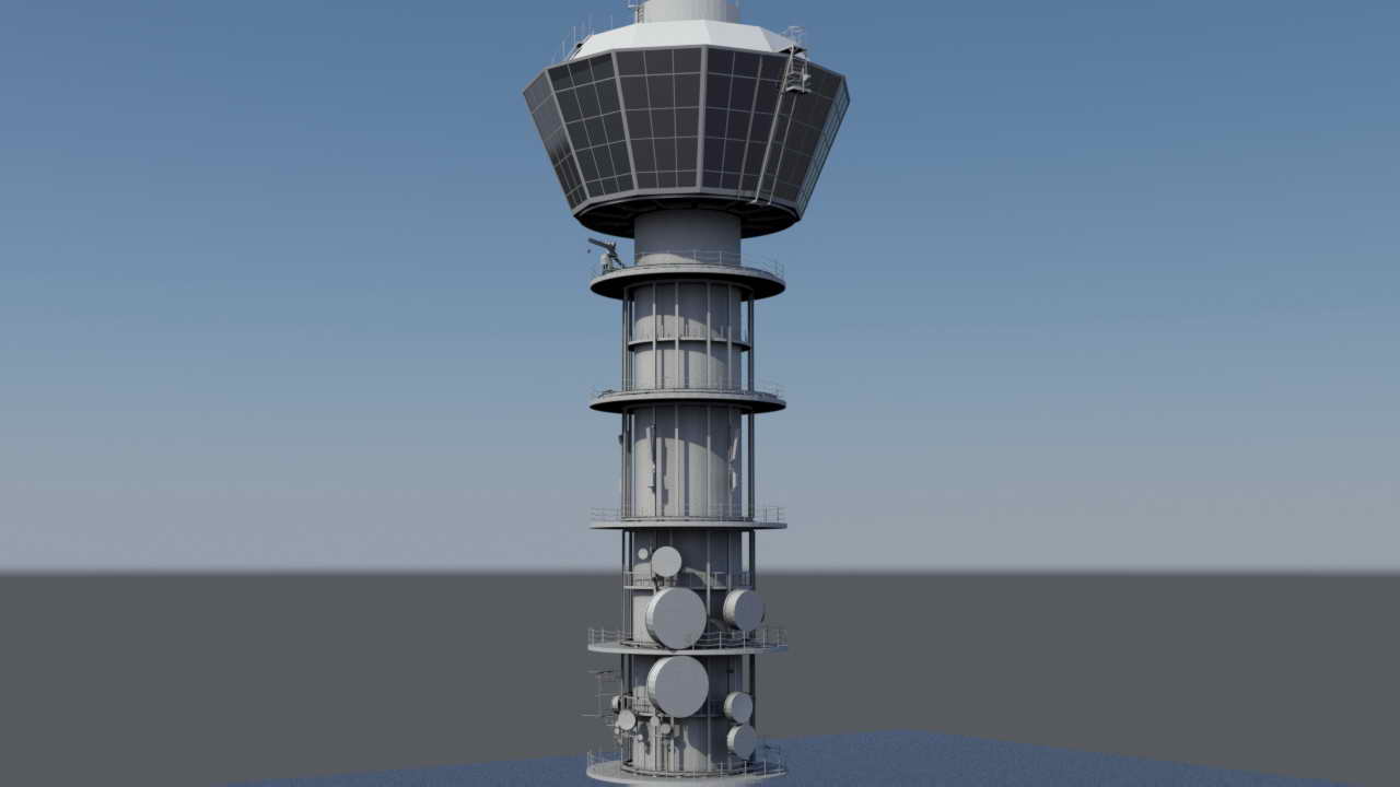
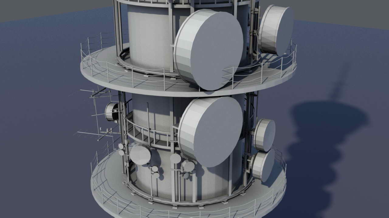
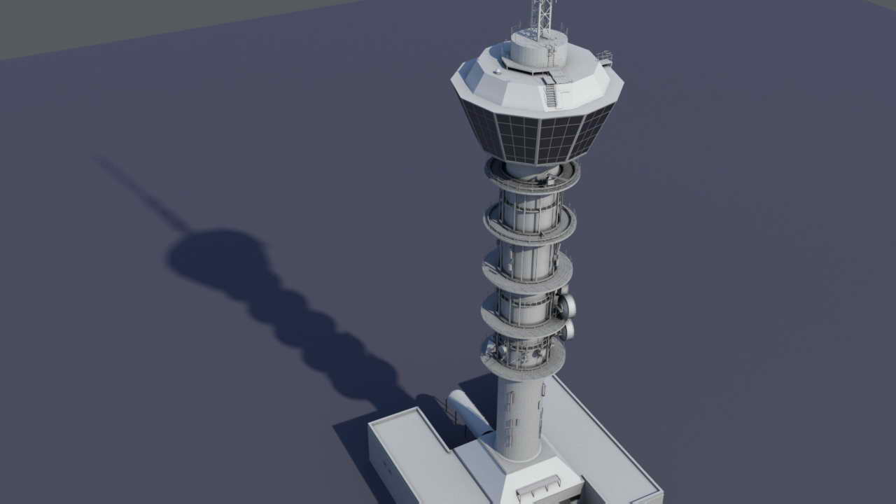
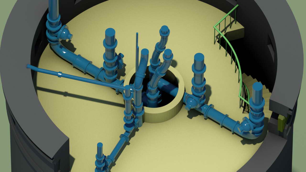
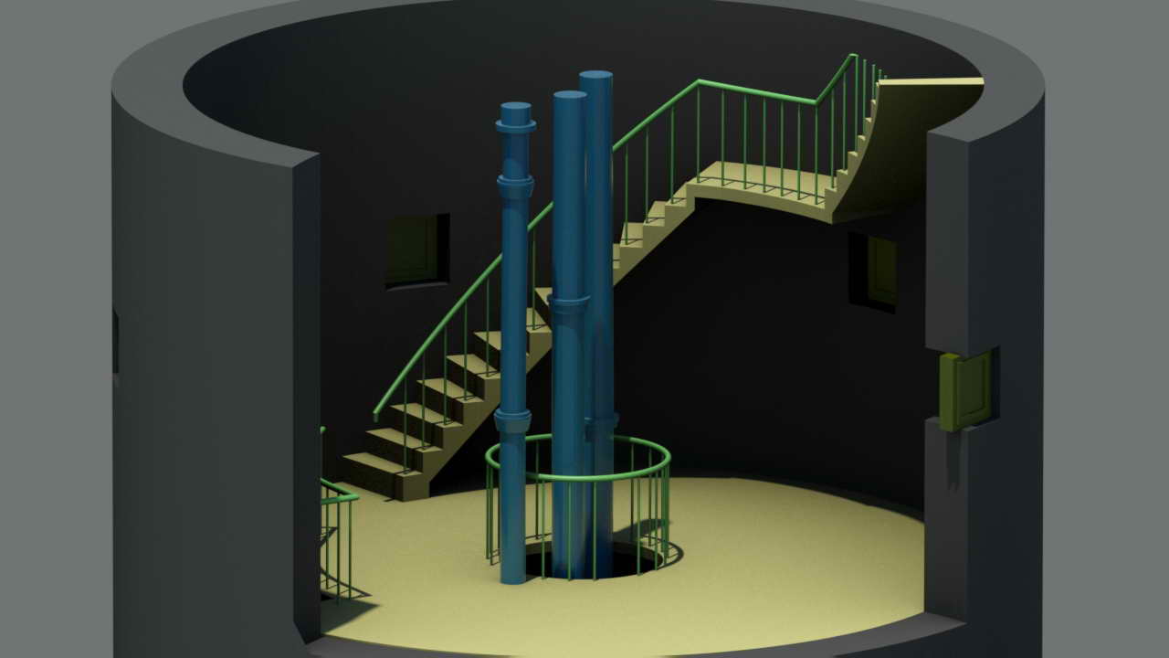
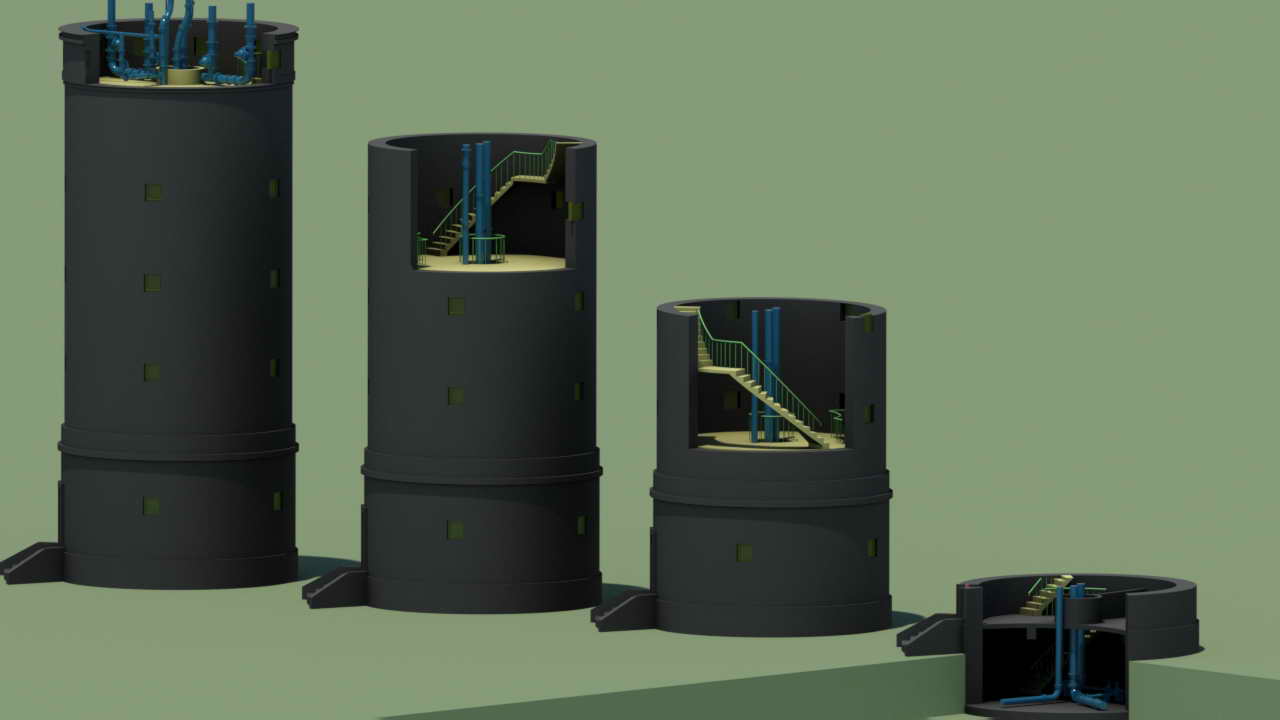
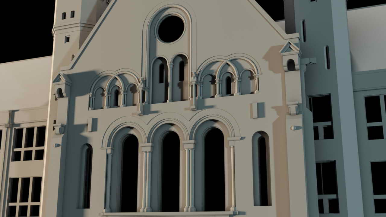
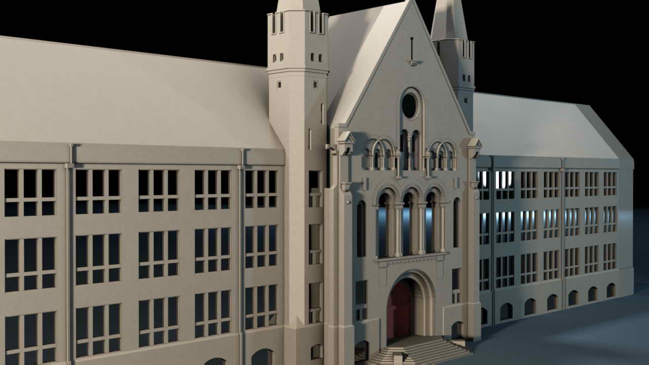
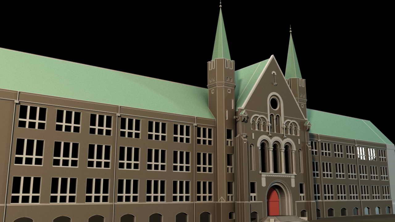
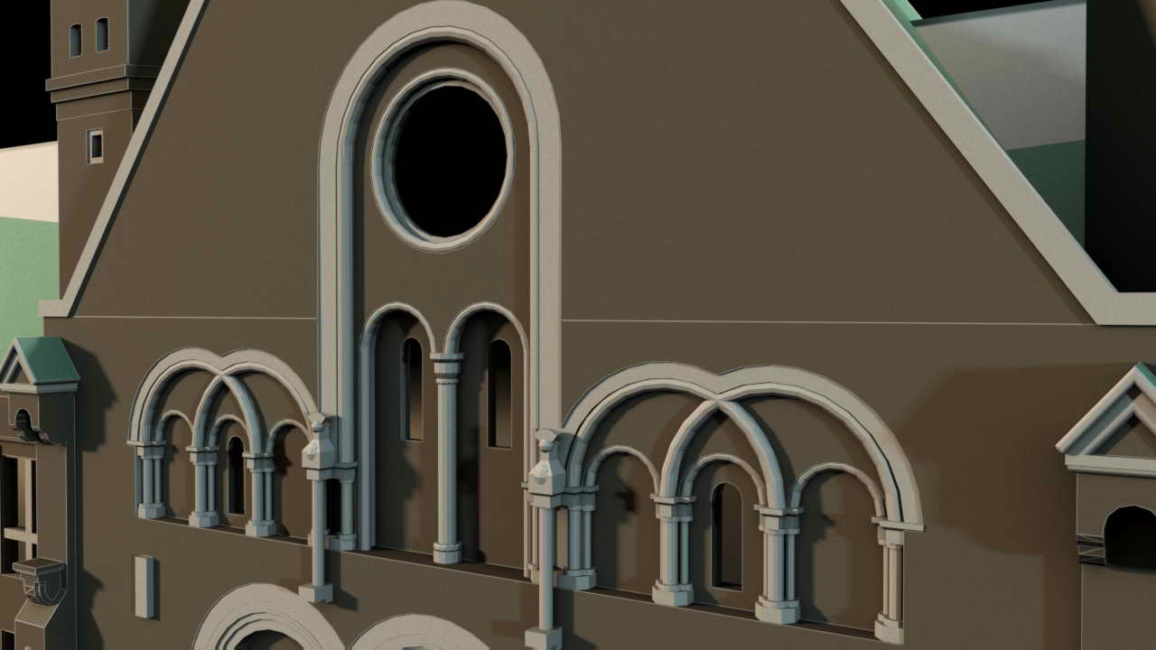
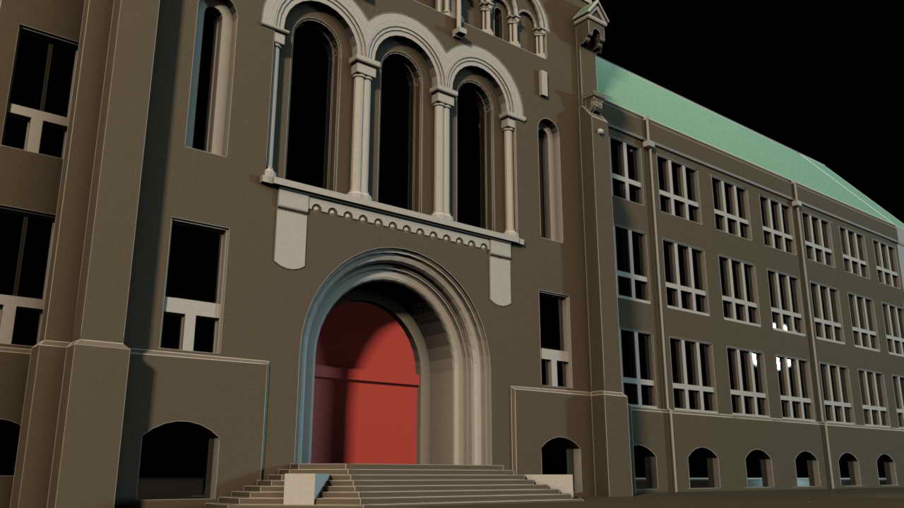
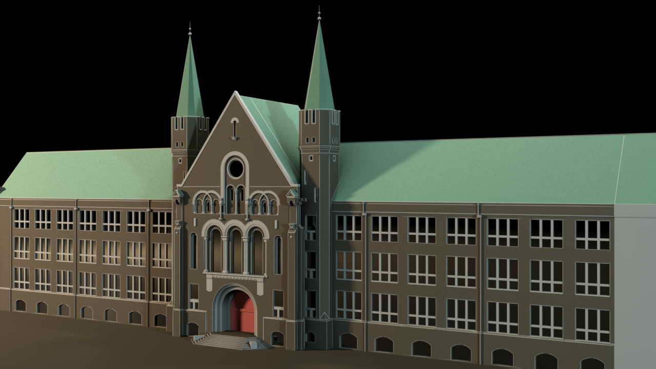
Preparing plans and projections of constructions in case of missing or incomplete original documentation.


